
Despite years of urgent warnings, local governments are moving too slow to prevent the worst damage from sea-level rise caused by climate change, risking repercussions as severe as housing shortages or an injured state economy, according to a report released today by the Legislative Analyst’s office.
The report suggests California would need to start building 100,000 more housing units annually in coastal cities to mitigate the problems caused by sea-level rise. Funding for public schools might be affected as well, as higher sea levels hurt property values and lower tax revenue. And it’s not just beachside housing that will be impacted. Commercial property like Oakland’s airport could face severe flooding in the coming years. In years with what’s called a ten-year storm surge, the airport would be useless.
The report maps out solutions for California’s Legislature. Key among them is money for local governments, but the analyst’s office also recommends teamwork. Sea-level rise will affect coastal communities across county lines, the report says, so it recommends regional planning and adaptation projects up and down the state’s coast.
“We need to expand our efforts to start preparing for those inevitable impacts and even though it’s really an issue of statewide importance, most of the work needs to happen at the local level,” said Rachel Ehlers, a principal fiscal and policy analyst at the analyst’s office and the lead author of the report.
The report relies on scientific findings that project sea-level rise reaching half a foot in 2030 and about seven feet by 2100, although other state-commissioned projections place sea-level rise at closer to 10 feet in 2100. Ehlers acknowledged the rise could be worse than the report’s projection, but analysts chose to use the estimates reported in most studies.
“Science tells us that some degree of impact from climate change is inevitable, including rising sea levels, and that has the potential to be really destructive in California, given all of our infrastructure and property and natural resources along the coast,” Ehlers said.
For those with boots on the ground, finding financial support to tackle a problem whose ugly side won’t show for years is a tough challenge.
“Action requires money. We spend a lot of our time applying for grants… and that may not be the most efficient way to go about planning,” said Jack Liebster, the planning manager for Marin County. “When it gets down to building some solutions, ‘who’s going to pay’ is the question.”
Liebster said his department has relied heavily on grant funding to plan and act on sea-level rise. He considers Marin to be on the “bleeding edge” of the issue, and the county is planning solutions to the forthcoming natural disasters. One such proposal includes building sand dunes near beaches in the county to fight the loss of sand and protect homes near the water. Liebster said they’re examining whether the solution is feasible.

The county has also made progress on how it plans to inform citizens of rising sea levels. In March, it released “Game of Floods,” a board game designed to help people understand adaptation choices and show how vulnerable the county is to sea-level rise.
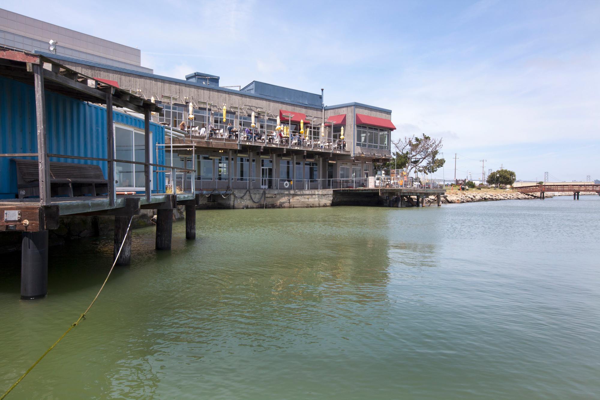
Other local agencies have been monitoring sea levels as well. The Port of Oakland, which also owns Oakland International Airport, is planning ways to manage the predicted flooding. Next year, construction will begin on a dike that will protect the airport’s main commercial runway from sea-level rise up until 2030. The airport also has a drainage system in place that helps alleviate flooding now.
“We’re not sitting around, waiting for something bad to happen and then try and do an after-the-fact solution,” said Marilyn Sandifur, a port spokesperson. “We’re proactive. We’ve been planning for years and coordinating with others.”
For instance, Sandifur said, just last week the port’s officials met with colleagues from other California ports to discuss sea-level rise across the state. The conference also invited the Netherlands’ Port of Rotterdam to attend and share its solutions to flooding. The Port of Rotterdam uses levees and dikes to keep the port from flooding because much of the country is located below sea level, according to The New York Times.
The organization has also been working with the San Francisco Bay Conservation and Development Commission, whose mission is to protect the bay and its shoreline. The commission supports regional planning for sea-level rise, thanks to more than $3 million in state funding, and in 2012, it mapped vulnerable bay area populations and communities. The analyst’s office reported that of those communities, Oakland’s airport would be one of the most threatened areas.
This type of regional collaboration is one of the many recommendations outlined in the report. The recommendations range from low-cost barriers that hold the ocean back from development, to expensive options like moving buildings. In places like Marin, though, some options aren’t feasible. The county is surrounded by protected agricultural lands and forests. Liebster, the county’s planning manager, said it would be “controversial” to move developed areas.
“There are some difficult choices that will need to be addressed,” he said.
By Elizabeth Castillo. Originally posted at CalMatters.