
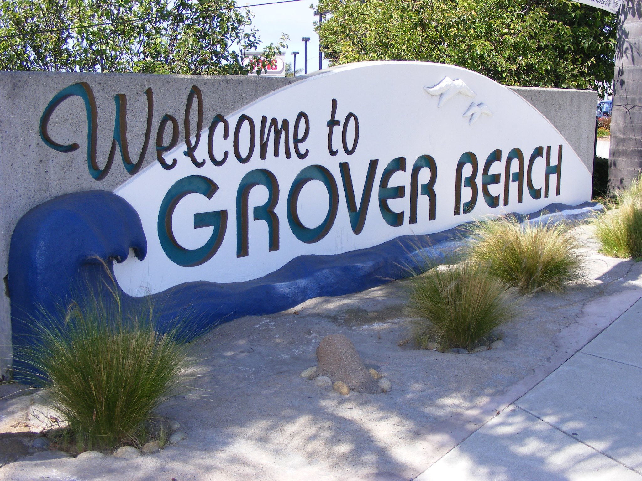
 The State of California released its official data from the U.S. Census late September, including its adjustments for the State prison population. The City of Grover Beach, like other California cities moving to district elections, is using the 2020 Census data to establish voting districts.
Districting determines how neighborhoods and communities are grouped together for the purpose of electing a City Councilmember. Residents have an opportunity to participate in the districting process by drawing their own map.
Understanding that individuals process information differently and have various comfort levels with technical applications, the City is offering residents different mapping tools to both gain insights about the City and draw new maps for consideration. These include:
- Paper maps with population counts that can be printed from the website, drawn on and submitted to the City via email at districting@groverbeach.org, or dropped off at or mailed to City Hall located at 154 S. 8th Street Grover Beach, CA 93433. The City of Grover Beach sent a paper map to each resident via mail, making it even easier for people to participate.
- A simple online map drawing tool called DistrictR, which enables residents to digitally draw or “paint” neighborhoods or communities of interest on top of a Grover Beach map.
- An interactive review map, similar to Google maps, where residents can explore population numbers and other statistics, as well as view and analyze draft maps once they are available.
- Story Map, which utilizes an interactive “storytelling” format so that residents can learn more about their community through geographic, demographic and other data.
These mapping tools have been added to the City’s redistricting website at groverbeach.org/districting so residents can access and provide detailed feedback at their convenience. Community members can submit as many maps as they would like throughout the entire districting process.

The paper maps, Interactive Review Map and Story Map are loaded with the official 2020 Census data. DistrictR is in the process of uploading the official data, and the data that is currently available on the tool are estimates. The official data is expected to launch in DistrictR in the coming weeks. Nonetheless, community members are encouraged to start drawing maps using any tool of their choosing. All maps will be accepted, regardless of whether they were produced using estimated data.
To demonstrate how to use these mapping tools, the City of Grover Beach is hosting a virtual community workshop on October 27, 2021 at 6:00 p.m. During the Zoom meeting, residents will have an opportunity to ask the City’s demographer questions and provide insights on communities of interest and feedback on preferred district boundaries.
Once the City receives map submissions from the community, the draft maps will be reviewed by the City’s demographer and posted on the districting website. All submitted maps will be taken to the City Council to consider for final adoption.
The first round of maps will be reviewed by the City Council during the next Public Hearing on January 24, 2022 at 6:00 p.m. The deadline to submit maps for consideration at this meeting is January 6, 2022. For a complete schedule of the remaining public meetings, visit groverbeach.org/districting.