
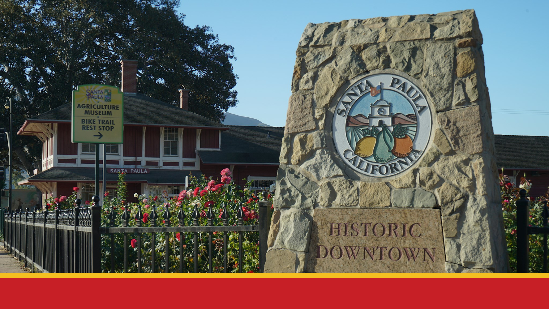
 On March 15, 2023, the Santa Paula City Council adopted an ordinance establishing the City’s first City Council district map and district-based elections. The new five-district map can be reviewed online at DrawSantaPaula.org/Selected-Map.
Starting with the November 2024 election cycle, residents of Santa Paula will now vote for one City Councilmember who lives in their district rather than voting for all City Councilmembers. Districts 1 and 5 are up for election in 2024, and Districts 2, 3, and 4 are up for election in 2026. The Council will continue to select the Mayor and Vice-Mayor to serve a one-year term each December.
The City of Santa Paula began the districting process in April 2022 to protect itself from financial and legal risks after receiving a letter challenging the City’s current election system and asserting that the City’s at-large election system violates the California Voting Rights Act (CVRA). The City hired National Demographics Corporation as the demographers and Tripepi Smith to assist with community outreach efforts. The City launched the process by creating a dedicated districting website, DrawSantaPaula.org, which provided background information about districting, a schedule of upcoming meetings, mapping tools, draft maps submitted throughout the process, and answers to frequently asked questions.
To gather public input and insights on the district formation process, the City of Santa Paula held six public hearings and four community workshops:
- August 3, 2022 – First public hearing
- August 17, 2022 – Second public hearing
- September 14, 2022 – In-person community workshop
- October 6, 2022 – Virtual community workshop
- December 1, 2022 – In-person community workshop
- January 18, 2023 – Third public hearing
- January 21, 2023 – In-person community workshop
- February 15, 2023 – Fourth public hearing
- March 1, 2023 – Fifth public hearing and first reading of the ordinance
- March 15, 2023 – Sixth public hearing and the second reading of the ordinance
The community workshops gave residents an opportunity to learn more about why the City was moving to district-based elections and to share their input on communities of interest and draft maps once they were available. The City’s demographer also demonstrated how to use the mapping tools made available for the public to create maps.
In addition to community workshops, the City encouraged Santa Paula community members to participate through districting emails, phone calls, social media posts, TV advertisements, and flyers.
At the public hearings, the City Council received an overview of the process, reviewed public comments and examined draft maps submitted by the public and created by the demographer. After extensive public feedback and engaging in thorough discussion, the Council selected Map 119 for adoption at the March 1 City Council meeting. Map 119 divides the City into five districts, each with unique geographic and demographic features.

District 1 encompasses the middle and eastern portions of the heart of the City, extending below Say Road down to East Main Street. It includes the popular Las Piedras Park and the surrounding neighborhoods with Santa Paula creek as its eastern edge.
District 2 includes the Oaks neighborhood up through the northern part of the City and wraps around what is commonly referred to as The Hill. The Santa Paula Cemetery is situated on the west boundary of this district, along with several residential neighborhoods to the north.
District 3 includes the eastern and southern regions of the City and encompasses a large area from the east border of the City to the southern portion of downtown. Moving south, the district also includes the Harvest at Limoneira development, the Santa Paula Airport and surrounding zones along Harvard Boulevard.
District 4 includes the middle and western areas of the City, running from Santa Paula Street on the north, to Hwy 126 on the south. It encompasses a mix of residential neighborhoods, commercial areas and some industrial zones between Steckel Drive over to 7th Street.
District 5 covers the City’s western side, extending from Skyline Drive to Highway 126. It includes popular public spaces like Obregon Park and Charles M. Teague Park, along with the surrounding residential neighborhoods and commercial areas.
View the selected map and determine which district you reside in at DrawSantaPaula.org/Selected-Map. For additional information regarding the districting process, visit DrawSantaPaula.org, or please contact Jonathan Royas, Management Analyst, at (805) 525-4478 or jroyas@spcity.org.